Products You May Like
Top Pick: The Beaten Path, Absaroka-Beartooth Wilderness, Montana
Instead of: Gunsight Pass Trail, Glacier National Park, Montana
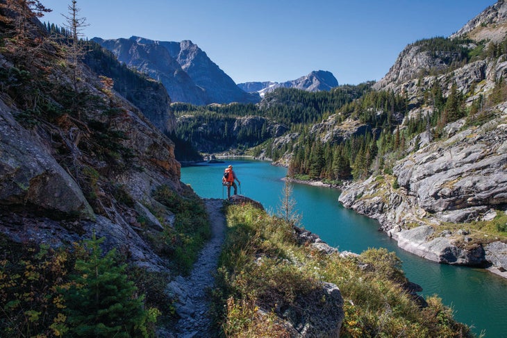
The sharp peaks and mesmerizing lakes of Glacier National Park are safeguarded by limited permits on the most popular hiking route in the park. So venture off the beaten path to, well, The Beaten Path Trail. On the 26-mile point-to-point between East Rosebud Lake and Cooke City, the path dances around cerulean waters teeming with rainbow and cutthroat trout, like Rainbow Lake at mile 8 (camp here). Waterfalls plunge toward enchanted shorelines, the most impressive of which can be found at mile 12’s Impasse Falls near Duggan Lake. At roughly 16 miles, Fossil Lake (the high point of the trek at 9,750 feet) appears as a world-class foreground to some of the behemoth Beartooths, including 12,779-foot Granite Peak, the tallest in the state. How do you soak in so much beauty? Spread the trip over at least four days. Then you can slow down to take full advantage of the huckleberry-laden shrubs (fruiting July and August) on your hike out.
Trailhead East Rosebud (45.1976, -109.6343) Shuttle Clarke’s Fork (45.0178, -109.8684) Road Rough 2WD Permit None Season July to September
Mt. Ritter, Ansel Adams Wilderness, California
Instead of: Half Dome, Yosemite National Park, California
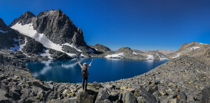
A permit to summit Half Dome is practically currency in California (also, the famed chunk of glacier-ground granite is on the state quarter), but 13,150-foot Mt. Ritter is the true king of the peak-rich Eastern Sierra. This pyramid blends moderate scrambling with snow-slope trekking up the Southeast Glacier, all nestled in a wilderness far off the tourist radar. The 20-mile out-and-back starts by climbing 1,100 feet into a deep granite bowl that cups the summit-reflecting waters of Ediza Lake. Meadows freckling the western shore make for excellent camping (choose an impacted spot). Next day, ascend to a dark-glassy volcanic saddle, bookended by Mt. Ritter and Banner Peak, the latter a favorite subject of Ansel Adams. Hopscotch to the left of the grassy ledges before ascending class-2 granite slabs that dump you at the base of the glacier. Secure your crampons and kick-step up the crevasse-free snow toward the summit. You can see the entirety of Yosemite to the north—but far enough away that no cables or crowds mar the view.
Trailhead Agnew Meadows (37.6831, -119.0855) Road 2WD Permits Required and limited; reserve in advance ($5/person + $6) or get them day of at the ranger station (free) Season May to October
Spade Lake, Alpine Lakes Wilderness, Washington
Instead of: 7 Lakes Basin, Olympic National Park, Washington
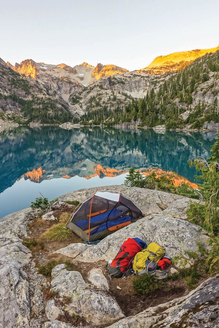
If you’re willing to sweat for your solitude, then hike heaven-ward to the lonely stained-glass pool of Spade Lake, four hours east of Olympic. As one of the most pristine bodies of water in the seldom-seen Alpine Lakes Wilderness (150,000 annual visitors versus 3.4 million to Olympic), Spade owes its enduring isolation to a hefty 14-mile approach to access the rocky cirque high on 7,959-foot Mt. Daniel. The trail starts by tracing a mellow path beside the Waptus River through old-growth cedar—the climbing doesn’t begin until the halfway point. Ford the slow-and-easy river at mile 8 then follow it until you reach the two-mile-long Waptus Lake, where the fun begins. The grade grinds up nearly 2,300 feet in 4 miles before depositing you at the shore of Spade Lake itself, where low-lying greenery fringes the water and campsites perch on the rocky bluffs a dozen yards above the teal pool. Once you camp here, the congestion at 7 Lakes will seem like a silly fiction.
Trailhead Salmon La Sac (47.4092, -121.1038) Road 2WD Permit Self-issue (free) at the trailhead Season May to October
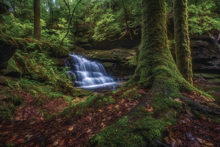
Sipsey Wilderness Loop, Bankhead National Forest, Alabama
Instead of: Shenandoah Loop,Shenandoah National Park, Virginia
Finding solitude in the East’s parks is harder than it is out West—not least because there are fewer parks—so get ready to ramp up your effort if you want to score alone time. Ditch the hiking highway that is Shenandoah’s portion of the Appalachian Trail and travel 600 miles southwest to the Sipsey Wilderness, a 25,000-acre paradise buried deep within Alabama’s Bankhead National Forest. It’s a long haul from Virginia, but the wild-flowing river (61 miles of Sipsey Fork are designated Wild and Scenic) and chimneys of limestone and sandstone create a region flowing with cascades, earning it the nickname “Land of 1,000 Waterfalls.” Piece together the nine trail segments that create the park’s perimeter and you’ll have a 22-mile weekend loop filled with mysterious sinkholes, sun-dappled hardwood forests, and pocket waterfalls with primo campsites. The green-tunnel effect is palpable, as is the utterly remote feeling in many sections: If you hear something rustling underbrush, it’s more likely a wild boar than another hiker.
Trailhead Randolph (34.2881, -87.4713) Road 2WD Permit Required (free) during gun-hunting season for deer (November to January); acquire at ranger stations Season September to May
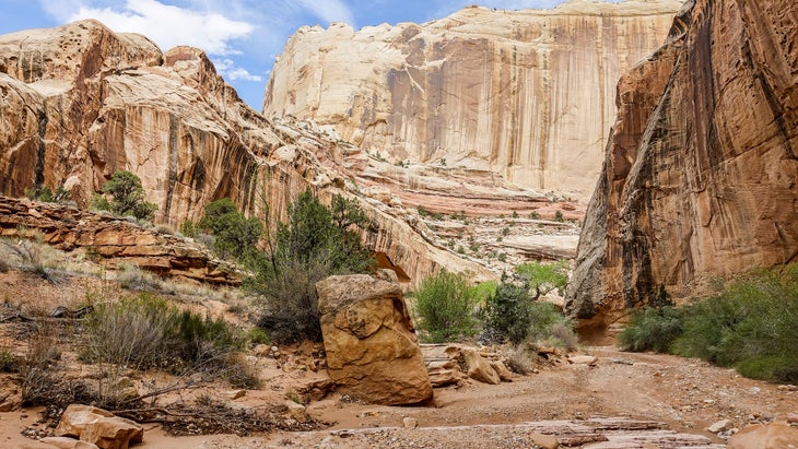
Egypt-25 Mile Wash, Grand Staircase-Escalante National Monument, Utah
Instead of: Under-the-Rim Trail, Bryce Canyon National Park, Utah
Bryce is a beauty, but canyon country without the crowds really only exists in the sun-drenched desert of the Grand Staircase. Even after it was downsized in 2017, the national monument still protects more than 1 million acres of deep slot canyons and sandstone goblins. This 20-mile loop begins high above the Escalante River on sculpted-from-slickrock Egypt Bench before plummeting 1,000 feet into Fence Canyon, a lush oasis you’ll likely have to yourself. Nestle your tent into any one of the shelves along the water or snag a site in the old cowboy camp near the junction of the canyon and the Escalante River. From there, wade downriver (up to knee-deep in late summer) to the confluence with 25 Mile Wash before snaking back up the wash itself, willow-whacking through the middle and navigating over dozens of beaver dams before arriving at the desert floor. Conclude the trip with a 6-mile cross-country trek over slickrock and sand to arrive back at your vehicle.
Trailhead Egypt (37.5932, -111.2184) Road 4WD Permits Required (free); self-register at the trailhead Season March to May, September to November
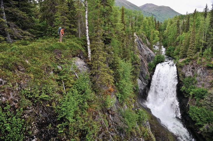
Resurrection Pass Trail, Chugach National Forest, Alaska
Instead of: Mt. Eielson Loop, Denali National Park, Alaska
Everything is bigger in Alaska; size up to local-favorite Resurrection Pass Trail. This 38-mile point-to-point trek through the Kenai Mountains covers more than twice the mileage of the Mt. Eielson Loop while crossing through some of the country’s most inspiring terrain. Start in the small community of Hope, winding your way up singletrack as it rises through spruce forests before breaking free from the canopy and heading into a sloping tundra. You’ll find no people but plenty of daisies and views that remind you of all your good choices. Top out at the halfway point, 2,600-foot Resurrection Pass, which boasts commanding views from the Harding Icefield all the way to Denali itself. From the 7-mile-long summit, it’s 19 miles of downhill into the town of Cooper Landing on the Kenai Peninsula, but take at least 4 to 5 days to complete the entire trek. Eight public-use cabins (operating, as of press time) and 19 designated backcountry campsites sprinkle the route; we’re willing to bet you won’t mind cozying up at a hut for an extra day or two.
Trailhead Resurrection Pass North (60.8696, -149.6301) Shuttle Resurrection Pass South (60.4844, -149.9536). Shuttles/taxis are also available from Wildman’s Store at mile 47.5 of the Sterling Highway (Group rate of $125/hour; wildmans.org) Road 2WD Permit None needed for tent camping but reserve cabins six months in advance via reserveamerica.com Season June to September
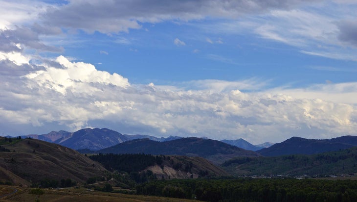
Granite Highline Trail, Gros Ventre Wilderness, Wyoming
Instead of: Teton Crest Trail, Grand Teton National Park, Wyoming
It’s a backpacker’s fantasy: wildflower-dotted meadows and big-sky views that start by hot springs and end with beer and burgers. The Granite Highline Trail hides in the interior of the Gros Ventre, a vast wilderness so close to the Tetons you can watch the sun skewer itself on those famed gneiss peaks. This 23-mile point-to-point trek begins near the man-made swimming pool and natural hot bath of Granite Hot Springs, a local favorite for easing sore muscles (check COVID guidelines ahead). Steeply climb an initial 1,200 feet until the trees dwindle; around mile 6, endless ridgelines stack out to the horizon. Then cruise through meadows filled with prairie-fire and lupine (blooming in June and July) that skirt the lower flanks of the 11,180-foot Gros Peak. At mile 13.3, the route plunges into the Cache Creek drainage where it meanders along until reaching the terminus at the Cache Creek trailhead in east Jackson. It’s only 2.2 miles to Snake River Brewing to chug a Jenny Lake Lager and inhale a bison burger.
Trailhead Granite Creek (43.3485, -110.4408) Shuttle Cache Creek (43.4650, -110.7300) Road 2WD Permit None Season May to October
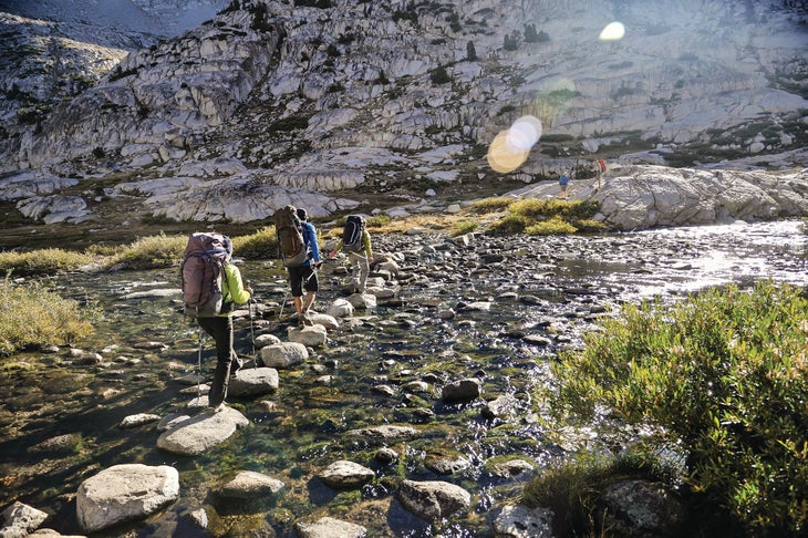
Sierra High Route, California
Instead of: John Muir Trail, California
John Muir once said that Yosemite was a place of rest, but then again he never had to navigate the permitting system of the trail that took his name. Skip the crowds (and formalized path) of “America’s Most Famous Trail” in favor of the Sierra High Route, a 200ish-mile cross-country hump through the expansive Sierra Nevada. Like the JMT, the 15- to 17-day journey runs south-north and the two routes even share 30 miles of trail. But when the JMT trends lower, the SHR runs the ridges into an alpine zone filled with diaphanous lakes and polished granite. With 33 oxygen-depleting passes and more than 60,000 feet of gain, it’s no walk in the park. And that’s exactly the idea. Tip: Begin the hike at the southern trailhead at Road’s End for easier pick-up logistics.
Trailhead Road’s End (35.9266, -118.4993) Shuttle Mono Village (38.1474, -119.3774). No commercial shuttles are available. Hitchhike or pay roughly $150 for a taxi from Fresno. Road 2WD Permits Required ($10 + $5 per person); nps.gov/seki Season June to October
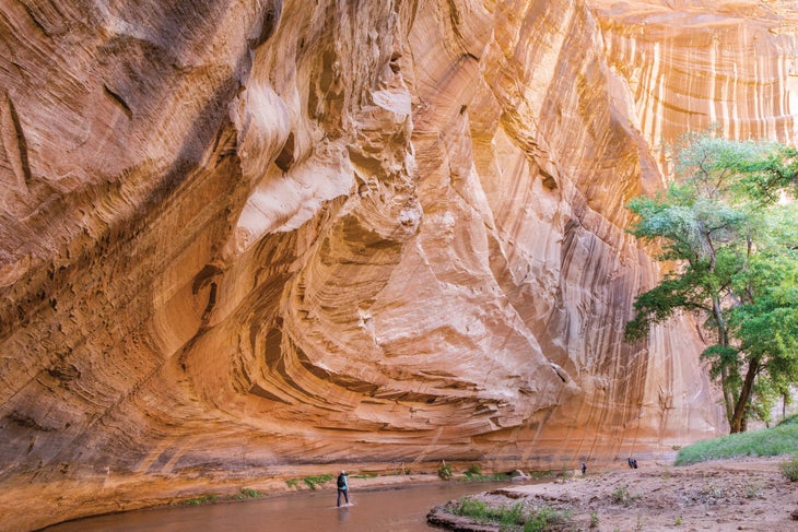
Canyon del Muerto-Bare Rock Loop, Canyon de Chelly National Monument, Navajo Nation
Instead of: Rim-to-Rim, Grand Canyon National Park, Arizona
Grand Canyon may be the bigger ditch, but Canyon de Chelly is the spiritual heart of Navajo Nation—and it feels like it. About 40 Diné families reside on the floor of the aeolian sandstone canyon in this 84,000-acre national monument, and you must have a Diné guide to explore the 21-mile trek between ankle-deep sand and amber-hued walls stippled with ancient pictographs. Descend 600 feet to the White House Ruin before meandering to broad-reaching Canyon del Muerto via stream crossings and a jeep road, surrounded by golden spires and craggy cottonwoods. Day two brings Black Rock Canyon’s half-wild horse herds and ancient log ladders clinging to the cliffs high above. But the true highlight is the third day. Hike back down Canyon del Muerto before ascending to the juniper-dominated rim via the Bare Rock Trail. Traverse red slickrock pocked with Moqui steps (hand and toe holds) carved into the stone by Ancestral Puebloans, Diné, and Hopi people while you listen to your guide’s stories about the old ones who walked the same path. [Editor’s note: Due to the ongoing COVID-19 pandemic, Canyon de Chelly is currently closed, and it’s unclear when it’s going to open. Check the park’s website before planning your trip.]
Trailhead White House Overlook (36.1304, -109.4775) Guide Most trips in Navajo Nation Parks require local guides; navajonationparks.org. Road 2WD Permit Required and available at the Navajo Parks & Recreation Department or through your tour guide Season April to October Info Navajo Tribal Trust of the Navajo Nation and Canyon de Chelly National Monument
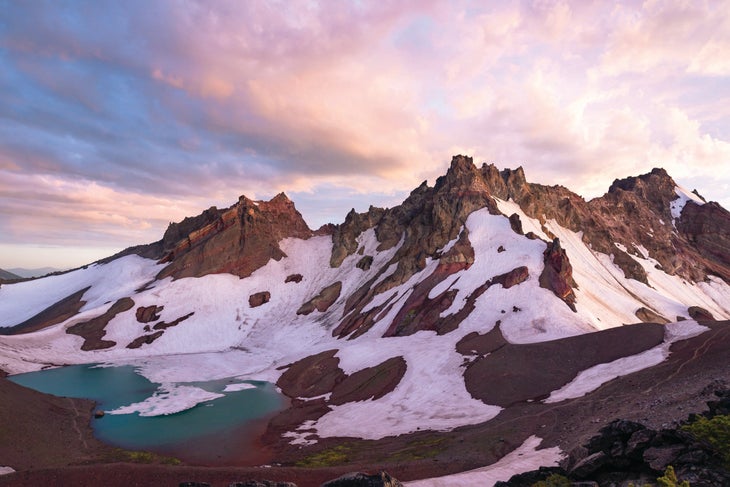
Broken Top Loop, Three Sisters Wilderness, Oregon
Instead of: The Wonderland Trail, Mt. Rainier National Park, Washington
As the most popular backpacking circuit in a park that sees a couple million visitors annually, the Wonderland Trail is everything you dreamed of—except quiet. Around 3,000 hikers request permits for the marquee loop, but rangers issue just 450, leading to dreams deferred. Instead, go now and secure that elusive solitude a day’s drive to the south. The Broken Top Loop, a 22.8-mile circumnavigation around the 9,175-foot glacier-ground volcano that lends the route its name, ribbons around alpine lakes with steady views of Mt. Bachelor (9,065 feet) and North, South, and Middle Sister peaks. Knock the burly climbing out first by approaching the loop clockwise. The initial 1,800-foot ascent feels about as abrupt as crashing cymbals, so think of it as a wake-up call to appreciate the Cascadian vista. Viridian-colored lakes litter the route, ranging from the lonesome No Name Lake at mile 5.4 to the popular Green Lakes that hikers treat as a standalone destination. Continue on a faint path for the last 2.6 miles, vacuuming up wonder on a trail that’s not named for it.
Trailhead Tam Macarthur Rim (44.1008, -121.6220) Road 2WD Permit Central Cascades Wilderness Permit required ($6), available at recreation.gov or at the national forest office Season April to November
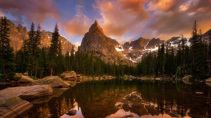
Lone Eagle Peak, Indian Peaks Wilderness, Colorado
Instead of: Longs Peak, Rocky Mountain National Park, Colorado
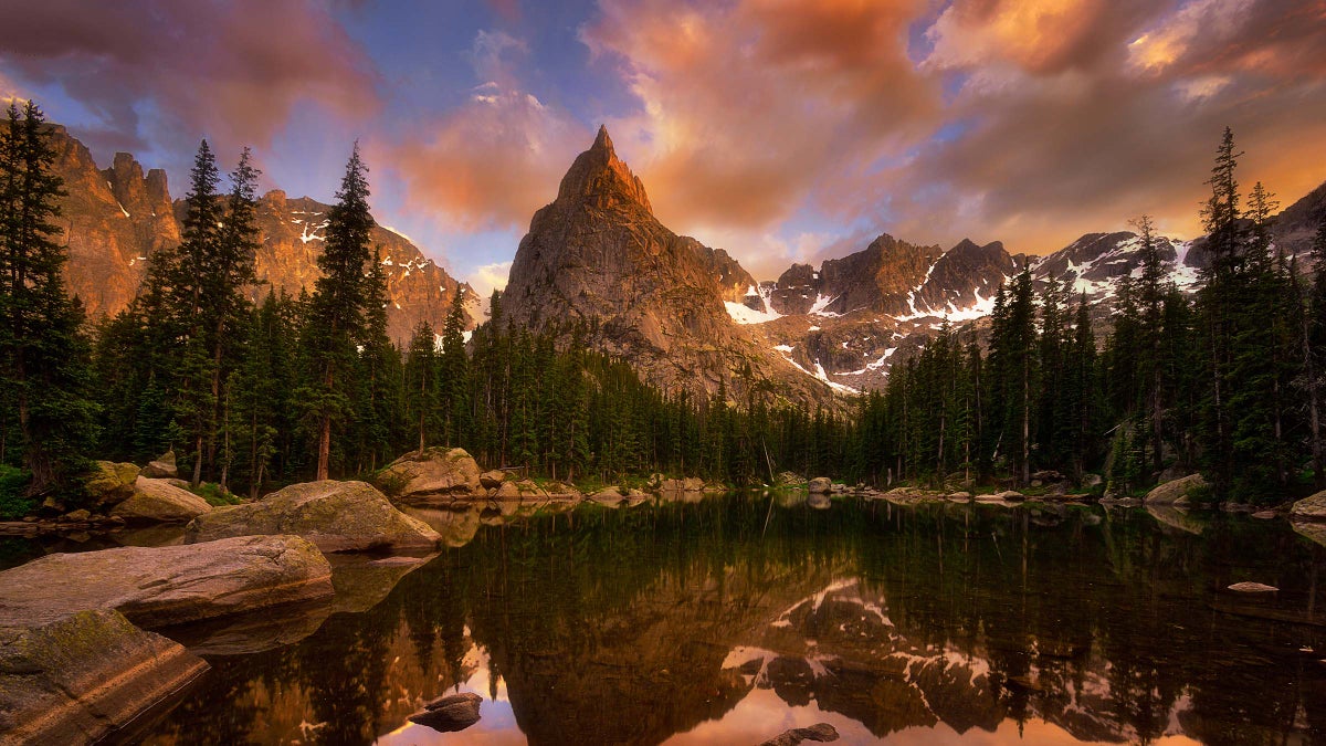
Longs Peak is overexposed. We’re not talking about the fall-forever ledges near the Fourteener’s summit, or the miles upon miles of shadeless scree. We’re talking about the hundreds of people you’ll share all that with—more than 350 per day attempt the standard route in the height of summer. When locals need an alpine fix, they head 13 miles south to the empty heights of Lone Eagle Peak. The 8-mile approach and semi-technical climbing on the summit ridge combine to dissuade most of the crowds. Ascend from the Monarch Lake trailhead while paralleling Buchanan then Cascade Creeks. At about 7 miles, skirt past pocket-sized Mirror Lake with the pinnacled bell of Lone Eagle crowding the background. Press on to Crater Lake and set up camp besides a cobalt pool that looks straight out of the Sierra. The least technical route to the 11,920-foot summit is Solo Flight, a devious route-finding endeavor with 1,600 feet of gain around broken granite benches and cairn-laden cliff bands with a class-4 crux. Tiptoe your way across the sawtooth-like ridge to the narrow summit and contemplate in solitude a view of Longs Peak, the mountain you skipped.
Trailhead Monarch Lake Trailhead (40.1119, -105.7472) Road 2WD Permit $5 for a backcountry permit required from June 1 to September 15, available in advance or at the ranger station at the trailhead Season July to September
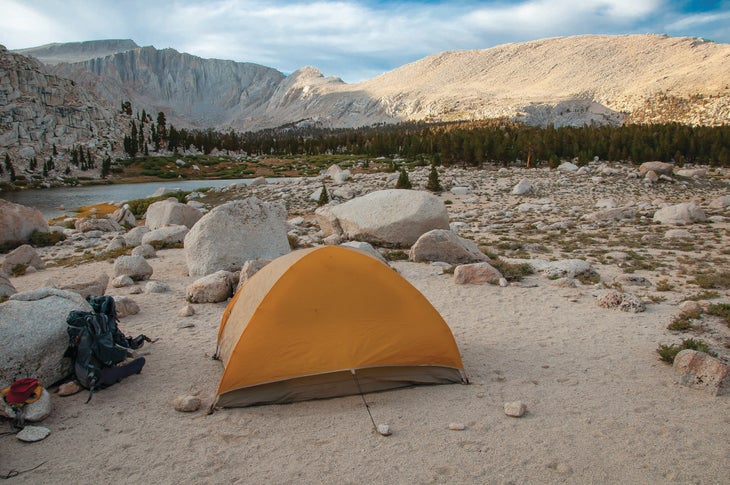
Cottonwood Lakes Loop, Golden Trout Wilderness, California
Instead of: Rae Lakes Loop, Kings Canyon and Sequoia National Parks, California
This 21.3-mile clockwise loop through classic Sierra alpine will leave you feeling like a kid in a backcountry sweet shop, even though it just barely enters the stately interior of Sequoia National Park. Glassy lakes teeming with trout and expansive vistas filled with snow-speckled peaks are just the tip of the Golden Trout experience. After Cottonwood Pass (mile 3.8), pick your way across the glacial cirque to Chicken Spring Lake. There, you’ll find a ridge to the west that doubles as a bench to marvel at the setting sun disappearing over the Sierra. Cross into Sequoia and camp near the wildlife-rich Soldier Lake (mile 10.1), where you’ll also find a bear box. If you have time, pause for an extra evening and spend a day or two peak bagging Mt. Langley (14,026 feet) for a fine Mt. Whitney substitute. Continue up and over New Army Pass (12,300 feet) at mile 13.4 with the oblong Cottonwood Lakes below. It’s big-name views with a lot less red tape.
Trailhead Horseshoe Meadows (36.4509, -118.1720) Road 2WD Permits Required for overnights, available via walk-in or up to six months in advance Season June to September
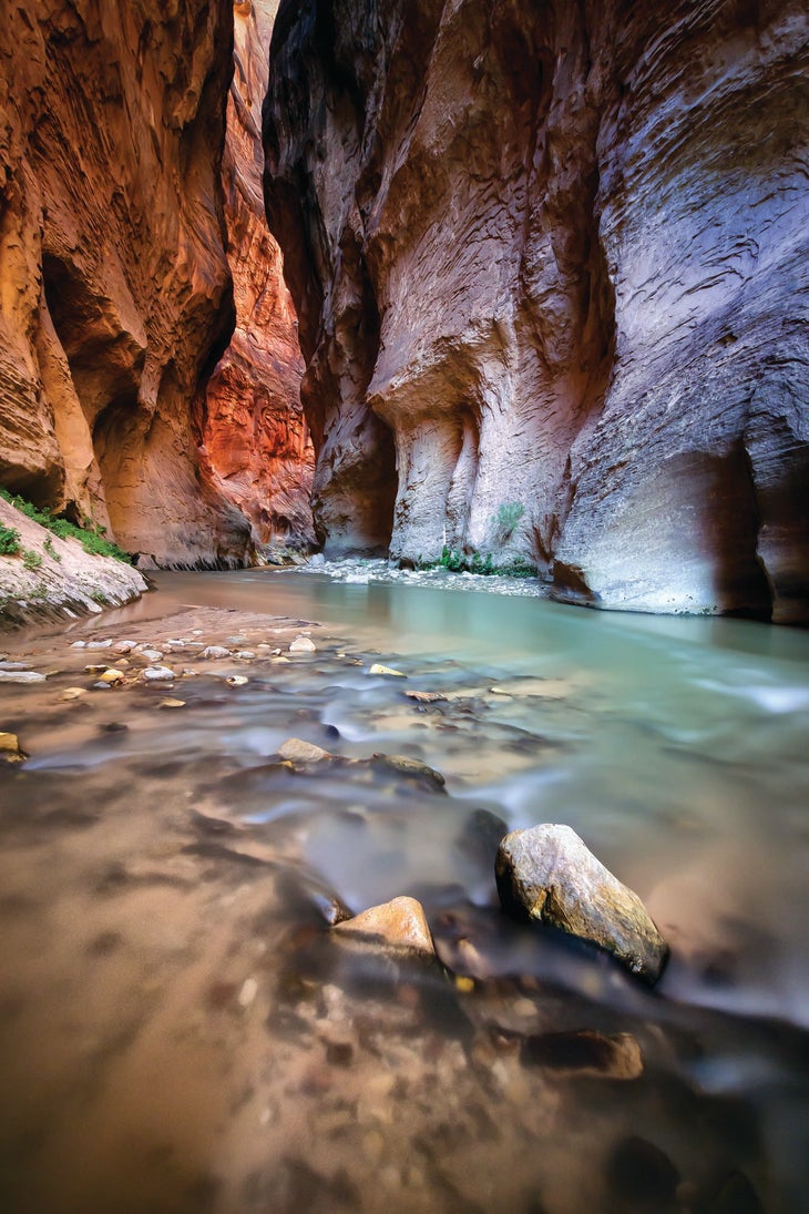
Parunuweap Canyon, Greater Zion Region, Utah
Instead of: The Narrows, Zion National Park, Utah
Take the grandeur of The Narrows, remove the parade vibe, and ditch the training wheels. That’s what you will find when tackling the experts-only Upper Parunuweap Canyon through the East Fork of Utah’s Virgin River. The point-to-point 20-mile route begins at Mt. Carmel Junction with a 4-mile dirt road through private land that sees fewer people in a year than The Narrows does in a weekend. Then, you’re on your own as the orange and white sandstone walls tighten against the East Fork. Chilly knee- to chest-deep water alternates with overgrown river banks for a puzzle of route finding. No tech gear needed but bring your routefinding skills; a handful of worthy side canyons beg for exploration. Just before you reach Zion, the canyon cinches to a 20-foot width with golden walls shooting out of the narrow darkness in a feature dubbed The Barracks. It’s like the Narrows’ Wall Street, only better.
Trailhead Mt. Carmel Junction (37.2151, -112.6846) Shuttle Checkerboard Mesa in Zion National Park (37.2276, -112.9795) Road 2WD Permit None Season June to October
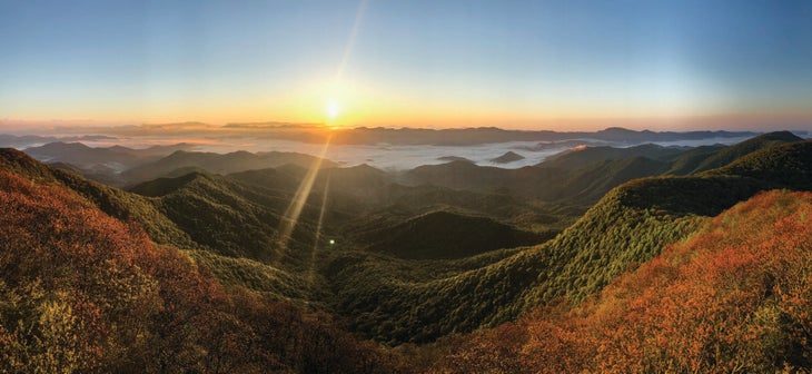
Standing Indian Loop, Nantahala National Forest, North Carolina
Instead of: Big Creek Loop, Great Smoky Mountains National Park, North Carolin
Vast hills covered in thick forests are quintessential Great Smoky, but they come with plenty of company in America’s most popular park. Find those same views with a fraction of the crowds on the Standing Indian hike, a 23.6-mile clockwise loop 90 minutes south in Nantahala National Forest. Wade through tunnels of rhododendron and laurel (blooming early summer) on the Long Branch Trail before taking the Appalachian Trail up 5,280-foot Albert Mountain to its iconic fire tower at mile 5.1. Camp here for tent-door views of the Milky Way made possible by limited light pollution. On day two, ramble along swelling ridgelines peppered with small streams and shelters. Then, make a final push to Standing Indian Mountain (5,499 feet) at mile 17.4, originally named Yunwitsulenunyi in Cherokee. During the golden hour, the sun rays on the mountains make it easy to understand why the Indigenous people call the region the “Great Blue Hills of God.”
Trailhead Long Branch (35.0748, -83.5269) Road 2WD Permit None Season March to May, September to November
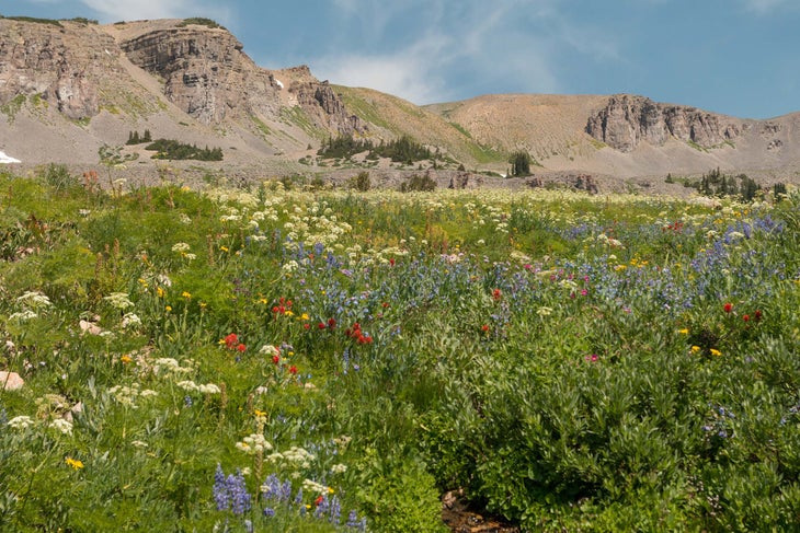
Alaska Basin, Jedediah Smith Wilderness, Wyoming
Instead of: Gallatin Crest Traverse, Yellowstone National Park, Wyoming
Perched in a subalpine glacial bowl made from some of the oldest rocks in North America, this 16.1-mile loop in Alaska Basin remains one of the best-kept secrets in the Rockies. You’ll cruise through a bear-rich evergreen forest before the valley opens up at 1.5 miles, where meadows of anemone and daisies (blooming July to August) fill the horizon. At 2.7 miles, split off from the Alaska Basin Trail onto the Teton Shelf Trail for views of Mt. Meek, a 10,681-foot scrambly summit that rivals the prominent vistas found in Yellowstone. Head up 9,726-foot Mt. Meek Pass and survey the scene before you: Below, glimmering lochs and commanding views of 11,938-foot Buck Mountain await as it peek-a-boos along the horizon. Descend to Sunset Lake at mile 10 and camp, keeping your eyes peeled for wolves and moose, and enjoy the seclusion that doesn’t exist 100 miles to the north. We promise you won’t miss the traffic.
Trailhead Teton Canyon Road (43.7556, -110.9155) Road Rough 2WD Permit None Season July to September
Originally published 2020; last updated January 2022
