Products You May Like
Receive $50 off an eligible $100 purchase at the Outside Shop, where you’ll find gear for all your adventures outdoors.
Sign up for Outside+ today.
It’s hard to think of a more classic adventure than the 24-mile Grand Canyon Rim-to-Rim hike. Linking together some of the best-known trails in the country—the North Kaibab Trail, then either the South Kaibab or Bright Angel Trail—through one of the most-photographed natural features on the continent, it’s hard to beat for scenery, geology, or bragging rights. But this isn’t a route for the faint of heart: Less than a single percent of the 5 million people who visit the Grand Canyon every year head below the rim, and only a fraction of those tackle the entire Rim-to-Rim traverse. Over 13,000 feet of elevation change, extreme temps, and exposure make it a challenge even for experienced hikers. But for those who come prepared, it’s a life-list experience like no other.

The Route: Rim-to-Rim Grand Canyon Hike
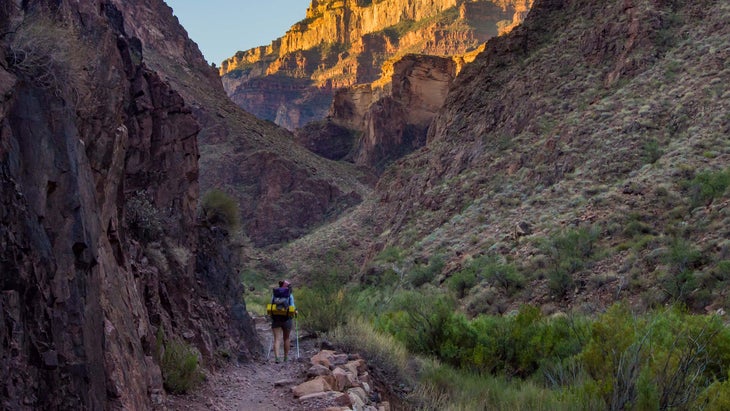
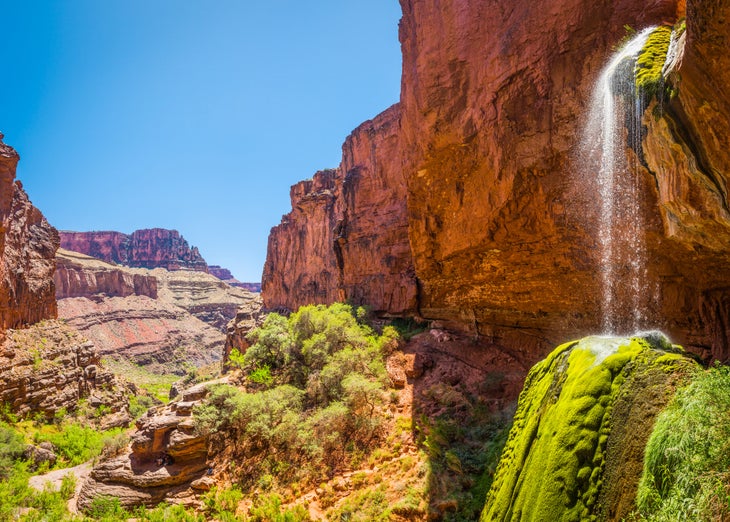
Start from the North Kaibab Trail trailhead, about two miles north of the North Rim Visitor Center. At an elevation of over 8,000 feet, this spot can be cold in the morning; the trail starts in alpine coniferous forest rather than the desert most people expect. The path begins dropping immediately, switchbacking down the red canyon walls (if you don’t like heights, be prepared for a few narrow cliffside sections where you won’t want to look down) and past a precipitous waterfall on Bright Angel Creek. Reach Cottonwood Campground, your first camping option, at mile 6.8. Most people, though, continue to Bright Angel Campground or Phantom Ranch, a few miles further on. Around mile 12, enter The Box, where the canyon walls narrow to only a few dozen feet. This section can be the hottest on trail, with recorded temperatures up to 130 degrees. Soon after that is Phantom Ranch and Bright Angel Campground, where most hikers spend the night.
Here the two route options diverge. The Bright Angel Trail has less elevation gain, more shade, and more water stations, so in the hotter summer months it’s the most common choice. From Bright Angel Campground, head 1.5 miles to River Resthouse, where the trail leaves the river again to start climbing. Climb steadily for another 3 miles to Indian Garden, where water and restrooms are available at a treed oasis among the red rock. After Indian Garden, any moderation in the climb is over; switchback 4.5 more miles to the canyon rim. The views back over the canyon during the climb are expansive enough to distract you from your burning muscles, and the feeling of accomplishment when you reach the South Rim will make you feel like you’re on top of the world.
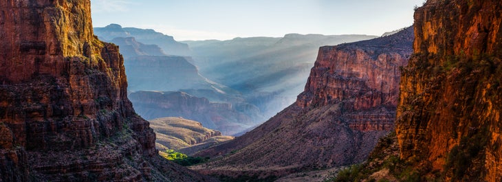
If it’s late or early in the season, or you’re more interested in views than mitigating the difficulty of the climb, take the South Kaibab Trail to the South Rim instead. From Bright Angel Campground, head along the river to Black Bridge, then cross the Colorado and start climbing. Steadily gain elevation until the Tipoff Overlook at mile 16, where you can take a break while checking out the view through Natural Arch. From there, switchback again to the end of Cedar Ridge, where you’ll get expansive views of the Colorado River and the canyon to both east and west.

Grand Canyon Rim-to-Rim Permits
You can make Earliest Request reservations for backcountry sites on specific days a couple months in advance of your hike (for January hikes the window is August 20th to September 1st, for February hikes it’s September 20th to October 1st, and so on). After that the remaining permits are given out in the order of requests received, up until 2 weeks before your hike (if any permits are remaining at that time). A backcountry permit costs $10 per group plus $8 per person per night below the rim, and a flat group rate of $8 per night above the rim. Check the park’s website for backcountry permit request forms and instructions. Phantom Ranch is on a separate reservation system, with spots given out by lottery several months in advance–enter as early as possible to secure your spot.
Staying Hydrated While Hiking Rim-to-Rim
The most important thing you can do to avoid disaster when hiking in the desert? Drink water. Plan to drink 5 quarts a day when doing hard hiking in high heat, and even on cooler days bring more than you think you’ll need. Know where all of the locations with water refills available are along your route, and how long it will take for you to reach them. Don’t just drink water alone, though; add electrolyte mix to your drinks, and snack along the way. If you drink water without any other nutrients you could develop hyponatremia, when you have too much water and too little sodium in your system. Symptoms include fatigue, headaches, nausea, confusion, and, in some extreme cases, coma and death.
Avoiding Heat Stress and Heatstroke on a Rim-to-Rim Grand Canyon Hike
If you or a hiking partner start getting nauseous, irritable, and/or dizzy, you might have heat stress. Luckily it’s easily treatable: Take a break in the coolest and shadiest spot you can find, drink water, and have some sport drink or high-electrolyte snacks. Once you feel recovered, you are! If you don’t catch heat stress in time, though, it can turn into the much more dangerous heatstroke. Signs of heatstroke include hot, dry skin, slurred speech, confusion, headache, and rapid breathing and heart rate. If you or your hiking partner has heatstroke, cool the patient as much as you can and call for evacuation.

When to Hike the Grand Canyon Rim-to-Rim
The Rim-to-Rim is best done in May, September, or October, when the North Rim road is open but the temperatures aren’t as hot as they are in midsummer. You can hike the route during the winter as well, but the trails are often icy (bring traction), and you’ll need to go south rim to north rim back to south rim again to avoid the closed road. If you do hike it in the summer, start early, rest during the hottest part of the day, and carry plenty of water.
Gear for the Rim-to-Rim Grand Canyon
To succeed and stay safe on the Rim-to-Rim, you’ll need to pack smart. Temperatures can vary wildly between the rim and the canyon floor and between day and night, so bring layers: in colder weather, a t-shirt, long johns, shorts, hiking pants, a shell jacket, and an insulating layer make a good essential kit. Bring an extra pair of socks to give your first set a chance to dry out after the sweaty descent to the canyon floor. A sun hat, bandana, and sunscreen will keep your skin from burning. Also make sure to pack water treatment options (drops, tablet, or a filter) just in case. In summer, you might want to consider breaking the cardinal rule of layering and wearing cotton: The heat-sapping properties of the material when it gets wet can work in your favor when temps run into the triple digits.
Shuttle for the Rim-to-Rim Grand Canyon
The Trans-Canyon Shuttle runs two trips between the rims every day from May 15 to October 16, and one per day until November 15. Reservations are required, and each seat costs $90. Alternatively, you can take two cars and drop one at your exit point, or hike the Rim-to-Rim-to-Rim instead, crossing the canyon again to return to your car.
