Products You May Like
Receive $50 off an eligible $100 purchase at the Outside Shop, where you’ll find gear for all your adventures outdoors.
Sign up for Outside+ today.
Crumbling ledges overlooking deeply forested mountains, hidden gorges where clear creeks tumble into waterfall spray, wild black bears–no, it isn’t the rainy west coast of Canada or the edge of Alaska: It’s West Virginia. In the Dolly Sods Wilderness, day hikers and backpackers can head into an impressive stretch of mountains, hardwood forest and upland bogs, leaving the east coast bustle behind for the hills. No need to head west for this life-list location. You’ve got everything you need right here.
Best Dayhikes in the Dolly Sods
Ready for a taste of the Dolly Sods Wilderness, but don’t have time for an overnight? No need to fret: a dayhike here will bring you through nearly every ecosystem in the region, plus great views of the mountains and fields of berries perfect for snacking.
Best Ridgetop Trail in the Dolly Sods: Rocky Ridge Trail
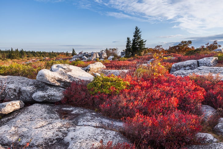
- Length: 7.7 miles
- Elevation gain: 338 feet
- Trail type: out-and-back
- Difficulty: moderate
Catch some of the best views in the Dolly Sods from this exposed ridgeline, where you can look out for miles over the Canaan Valley and the hills of West Virginia. The meadows of the ridgetop are filled with blueberries in late summer and fall, perfect for snacking, and the path connects with several backpacking routes.
Grab the route on Gaia GPS here.
Best Forest Hike in the Dolly Sods: Rocky Point Trail

- Length: 11.2 miles
- Elevation gain: 787 feet
- Trail type: out-and-back
- Difficulty: moderate
This path winds through spruce and aspen forests, with one large stand of regionally rare pine trees. Though mostly in peaceful, deep forest, the trail also emerges onto the eponymous “rocky point”, where forest gives way to a broad clearing with views of the surrounding canyon.
Grab the route on Gaia GPS here.
Best Creek Hike in the Dolly Sods: Red Creek
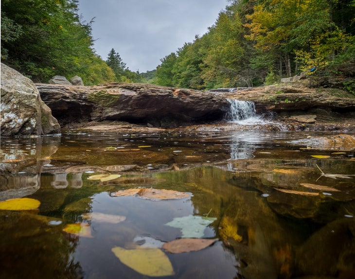
- Length: 12.3 miles
- Elevation gain: 611 feet
- Trail type: out-and-back
- Difficulty: moderate
This all-day trek encompasses meadows, forests, and creekside boulders. The creek itself tumbles over sandstone boulders, with bright green foliage leaning in from either side. Several meadows along the way open to the surrounding hills; keep an eye out for black bears during berry season.
Grab the route on Gaia GPS here.
Best Peakbagging Dayhike in the Dolly Sods: Breathed Mountain
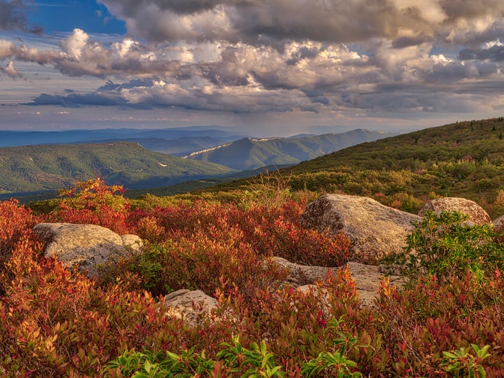
- Length: 11.3 miles
- Elevation gain: 1,571 feet
- Trail type: out-and-back
- Difficulty: moderate
Breathed Mountain looks like a bit of the far northeast dropped in the middle of West Virginia, with open upland bogs, red spruce, and blueberry thickets clustered around sandstone cliffs. Savor the landscape with a long lunch break at the top of the 3,840-foot summit, picking your own handful of berries for a sweet mountain desert.
Grab the route on Gaia GPS here.
Best Weekend Trips in the Dolly Sods
Level up to a night in the woods with a weekend trip to the Dolly Sods. Spending all of dusk and dawn increases your chances of wildlife spotting, plus those sunsets and sunrises are hard to beat.
Best Above-Treeline Weekend Trip in the Dolly Sods: Blackbird Knob
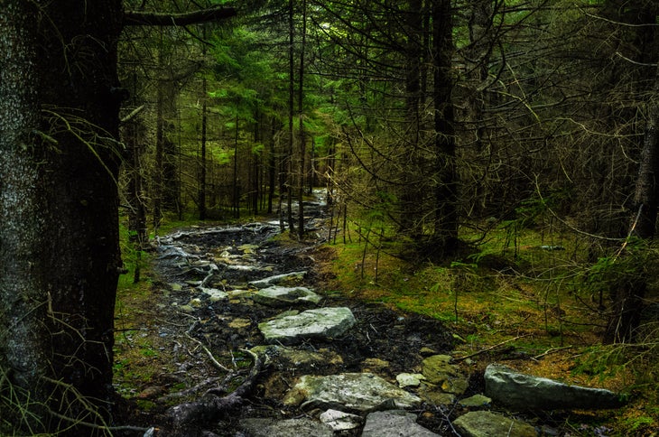
- Length: 17.3 miles
- Elevation gain: 2,991 feet
- Trail type: lollipop loop
- Difficulty: moderate
Loop through Breathed Mountain, Red Creek, and Blackbird Knob on this classic weekend loop. The trail starts in a tunnel of rhododendron trees (hit it up in spring for peak blossoms) before heading to evergreen forest and the open upland bogs that give Dolly Sods hikes their open, views of the surrounding hills and Canaan Valley.
Grab the route on Gaia GPS here.
Best First Backpack in the Dolly Sods: Rohrbaugh Trail
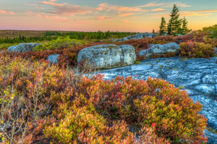
- Length: 8.8 miles
- Elevation gain: 280 feet
- Trail type: out-and-back
- Difficulty: moderate
This short trip is great for families, first-time backpackers, or anyone looking for a leisurely weekend ramble in the Dolly Sods. After winding through lush forest and occasional views of the surrounding hills, the trail heads up to a secluded campsite 2.6 miles in that overlooks the Red Creek watershed, Breathed Mountain, and Coal Knob.
Grab the route on Gaia GPS here.
Best High Plateau Hike in the Dolly Sods: Raven Ridge-Blackbird Knob Loop
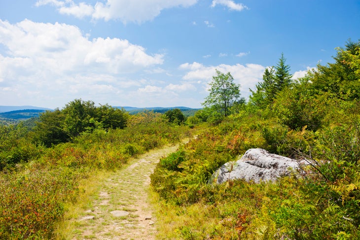
- Length: 13.7 miles
- Elevation gain: 1,695 feet
- Trail type: loop
- Difficulty: moderate
This loop packs a bit of everything into just two days. From a secluded swimming hole to a profusion of berries (cranberry, huckleberry, and blueberry), plus windswept uplands dotted by stunted spruce that look more like northern Canada than West Virginia, even the pickiest hiker will find a life-list highlight.
Grab the route on Gaia GPS here.
Best Multiday trips in the Dolly Sods
Best Hike in the Dolly Sods for Solitude: Bear Rocks Loop
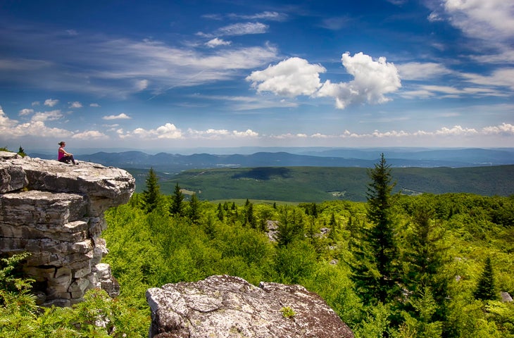
- Length: 25.4 miles
- Elevation gain: 3, 317 feet
- Trail type: loop
- Difficulty: moderate
With little elevation gain and almost no other hikers, this loop nets hikers the solitude they crave without the long, hard climbs often required to find it around here. Cross Red Creek in the lowland woods, then head up to a boulder-scattered ridgeline and a campsite on top of Harman Mountain that looks out on more wilderness all around.
Grab the route on Gaia GPS here.
Best Tour of the Dolly Sods: 9 Trail Loop
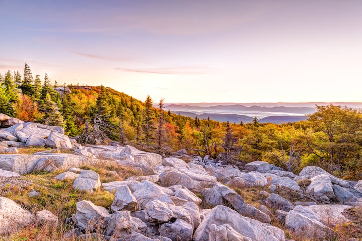
- Length: 22.7 miles
- Elevation gain: 3, 424 feet
- Trail type: loop
- Difficulty: moderate
Link together nine different trails for a tour through half the wilderness area: Bear Rocks, Raven Ridge, Rocky Ridge, Blackbird Knob, Big Stonecoal, Dunkenburger, Little Stonecoal, Red Creek, Dobbin Grade, and back to Bear Rocks. Climb to the open uplands, cross precipitous forested ravines, and trek through fields of enormous boulders on your way through the landscape.
Grab the route on Gaia GPS here.
Hiking Safely in the Dolly Sods
The Dolly Sods are home to black bears as well as smaller critters that love to get into backpackers’ food. Hang your food cache, plus anything else scented from your supplies, every night, and make noise when hiking through thick brush. The Dolly Sods were also used for artillery and mortar training during WWII, and while the craters have grown over, some unexploded ordnance remains; if you find something, don’t touch it, back away, and let someone know. You’re unlikely to encounter this problem on-trail, but stay aware.
What to Pack for the Dolly Sods
Storms frequently blow through the Dolly Sods,especially in winter and spring, which keeps the forest green but also means hikers often get caught in the rain. Make sure to bring a sturdy rain shell (and maybe rain pants, too). If you’re staying overnight, or headed out on a long day hike, bring along a water filter or purification tablets.
