Products You May Like
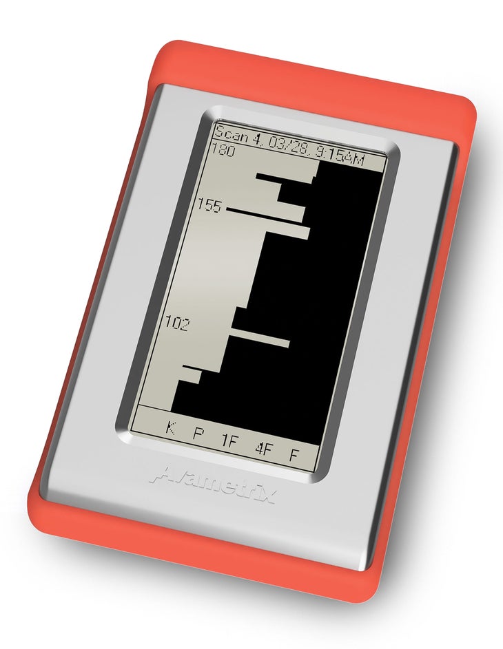
There was a hot new booth at the winter trade shows in January 2020. Avametrix, a small, Idaho-based company working with a radar engineer from Kansas, was introducing its AvyScanner device as “the world’s first pocket avalanche predictor.”
“If you want to spend less time digging snow pits and worrying about spatial variability and more time sacking sick lines, you need the new AvyScanner by Avametrix,” read the company’s marketing flyer. It went on to claim that the beacon-sized radar gadget “detects instability so you can AVOID an avalanche in the first place.”
Avametrix won awards, promised prototypes for testing, and hashtagged #dontgetcarriedaway on social media. The company’s last Instagram post, dated October 15, 2020, declared them “alive and well” amidst the pandemic, and shared that the company’s engineers were redesigning the mechanics of a smaller device with a longer battery life.

Then they disappeared. No one seems to have heard from them since, save for a recent email to SKI mentioning drone-mounted radar scanners that are supposedly in development stages.
The avalanche community has seen flashes of this hype before. In 2014, AvaTech, a venture-capital-backed company out of Utah, rapidly launched a digital probe for detecting the depth and hardness of different layers in a snowpack, along with a cloud platform that uploaded the probe data to a social network to map out different snow profiles across an area.
Related: Why every backcountry skier should have a list of go-to routes
“I warned them how challenging it would be, but they made a bunch of probes and sent them out anyway and they just plain didn’t work,” says Karl Birkeland, director of the U.S. Forest Service National Avalanche Center in Montana. “There was too much variability in the way you push the probe into the snow, so you couldn’t render a very accurate profile with it.”
The company soon realized the uphill financial battle they faced in selling the new probes, so they killed the hardware component of the business to focus on the social media app, AvaNet. Both entities were eventually sold off.
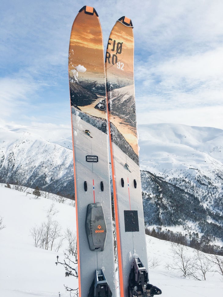
Now Sknow, a Norwegian company, is putting radar detection devices on skis to gather snowpack information beneath them in real time, much like Avametrix set out to do. That may tell users what’s directly underneath them, but it won’t tell them much about what’s 500 feet down the slope. Moreover, these devices can only show users how far down the layers are and perhaps their hardness, which is a far cry from determining the actual stability of those layers and their likelihood to propagate and slide.

“People want to think of everything as absolute, but nature doesn’t really give us absolutes until it’s too late,” says Doug Chabot, director of the Gallatin National Forest Avalanche Center in Bozeman, Montana. Like Chabot, even the most skeptical snow science professionals want these new technologies to succeed and provide backcountry skiers with better tools to make more informed decisions. But technological advancements require significant resources. With the snow professional market being so small and niche, investors want quicker returns by going after the consumer market of recreational skiers, promising aggressive rollouts for pre-orders before the technology has been thoroughly tested by scientists and with potentially reckless marketing.
“Consumers can easily be led down the wrong path with this stuff and become too confident in the technology,” says Dr. Hans-Peter Marshall, snow scientist and glaciologist at Boise State University with 21 years of experience using radar to observe and study snow. “When you bring out a new, shiny tool, everyone wants to use it, but my worry is that people will stop considering the obvious signs like whumpfing and cracking that are not shown on a device.”
Related: How to use maps to avoid avalanche terrain
Other pieces of the snow study technology puzzle are still coming together. Switzerland has mapped out a digital elevation model (DEM) for the entire country at a 1×1 meter scale, which gives their maps very accurate slope angle and location measurements. The Swiss app WhiteRisk uses this data, along with forecasts and 900,000 avalanche path simulations, to determine whether or not a user is standing in, or heading toward, avalanche terrain—one of the most crucial things to be able to recognize.
In the United States, a standard USGS map can be very coarse and sometimes only accurate to within 30 meters. That’s not precise enough for a map on your smartphone to tell you the angle of the slope you’re standing on, but smartphone maps still have slope shading that people rely on all the time.
On the other hand, with so much infrastructure, construction, water resource management, and geological research in Colorado, the state has a large repository of high-resolution DEMs in high-traffic backcountry ski areas. It is a prime testing ground for an app like WhiteRisk.
“We’d love to combine our geographic information and avalanche research and mapping into such a powerful trip planning and navigation tool for people traveling in avalanche terrain,” says Dr. Ethan Greene, director of the Colorado Avalanche Information Center (CAIC). “But I wouldn’t expect a magic bullet that will allow you to turn your brain off and follow your phone or device around the backcountry safely.”
Greene thinks it’s great when creative people try to come up with new ideas. Our collective knowledge tends to move forward in small steps rather than big leaps. However, since snowpack stability is such a tiny segment of scientific study with minimal investment, we still have to pay attention to our backcountry surroundings, and understand scale, mapping tools’ resolution, and forecasting.
“Until Elon Musk is really interested in solving the avalanche enigma,” Greene says, “we will continue to plod along more slowly and steadily than other technological marvels we’ve seen in our lifetime.”
Read More
The year’s best backcountry skiing and ski touring packs
Best backcountry skis of 2022
What they didn’t teach you in your Avy 1 course
