Products You May Like
Receive $50 off an eligible $100 purchase at the Outside Shop, where you’ll find gear for all your adventures outdoors.
Sign up for Outside+ today.
Yosemite’s crowds may get a bad rap, but there’s a good reason that people flock there: You just can’t get this scenery anywhere else. From dizzying granite cliffs to quiet backcountry lakes to mist-hung waterfalls, everything about the park screams “epic.” Besides, with a little bit of planning and a willingness to get off the beaten path, you can actually find solitude here. These hikes are the best way to check out everything Yosemite has to offer.
The Best Dayhikes in Yosemite National Park
The Best Waterfall Dayhike in Yosemite National Park: Nevada Falls Loop
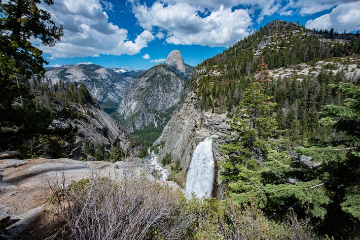
- Length: 5.14 miles
- Elevation Gain: 3,428 feet
- Trail Type: loop
- Difficulty: hard
Climb to Sierra Point and vistas three waterfalls on this scenic loop. The expansive views of Illilouette Gorge, Liberty Cap, and Yosemite Valley are nothing to sneeze at, scattered throughout the hike so you have time to catch your breath at each viewpoint. It’s the up-close waterfall views, though, that really take the prize: 381-foot Illilouette Falls, 317-foot Vernal Falls (which you’ll climb right next to), and 594-foot Nevada Falls all send down roaring trailside cascades accompanied by enormous clouds of spray.
Find the route on Gaia GPS here.
The Best High Country Dayhike in Yosemite National Park: Glacier Point to Four Mile Trail
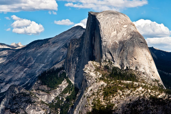
- Length: 4.47 miles
- Elevation Gain: 1,393 feet
- Trail Type: point-to-point
- Difficulty: moderate
The hardest part of this hike: Remembering you have to look at the trail once in a while. Starting in a grove of fir and pine atop the South Wall of Yosemite Valley, the path drops to sunny switchbacks with panoramic views of Half Dome, Yosemite Falls, Nevada Falls, and the Clarke Range. Finish up with a valley floor view of 7,038-foot Sentinel Rock.
Find the route on Gaia GPS here.
Best Classic Dayhike in Yosemite National Park: Half Dome
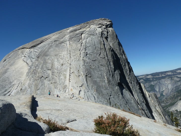
- Length: 14 miles
- Elevation Gain: 4,800 feet
- Trail Type: out-and-back
- Difficulty: hard
Nothing says “Yosemite” more than the iconic silhouette of Half Dome, and there’s no hike in the park more classic than the climb to its summit. It’s a strenuous trek, with the last 400 feet rigged with cables to help hikers up the steep face, but the views of the High Sierra and Yosemite Valley, plus the bragging rights of topping out on Half Dome, are worth it.
Find the route on Gaia GPS here.
Best Flat Valley Hike in Yosemite National Park: Yosemite Valley Loop Trail
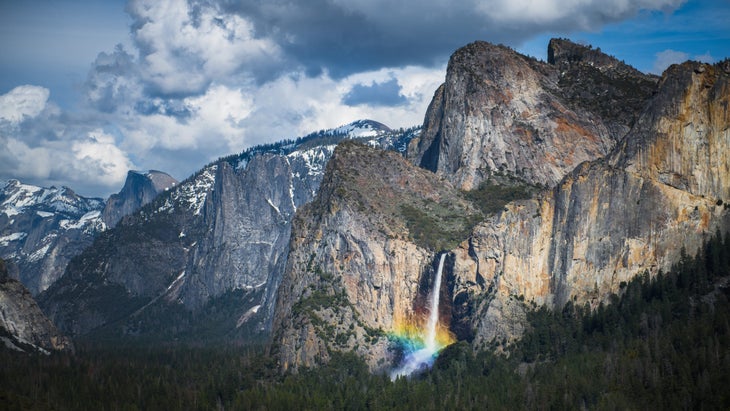
- Length: 21 miles
- Elevation Gain: 3,677 feet
- Trail Type: loop
- Difficulty: moderate
Take in all the most famous spots in Yosemite on this 21-mile loop. Starting from Yosemite Falls, head east to Mirror Lake and Half Dome Views, then trek to Bridal Veil Falls. Head to the Merced River next, then gaze up from the foot of El Capitan before finishing up the loop.
Find the route on Gaia GPS here.
The Best Weekend Hikes in Yosemite National Park
Best Classic Campsite in Yosemite National Park: Cathedral Lake to Happy Isles via Clouds Rest
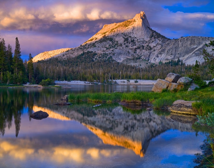
- Length: 24 miles
- Elevation Gain: 4,453 feet
- Trail Type: point-to-point
- Difficulty: moderate
Start with the alpine bowl of Cathedral Lakes, then head over Cathedral Pass to Sunrise Lakes, where granite cups crystal-clear tarns—and that’s just the first few miles. Drop down into a forested canyon to camp below Clouds Rest, then head up to the summit itself the next day for nigh-unbeatable views: A panorama of Half Dome, El Capitan, and Yosemite Falls. Finish up with a descent down the Mist Trail beside Nevada and Vernal Falls.
Find the route on Gaia GPS here.
Best High Country Backpack in Yosemite National Park: South Rim Traverse
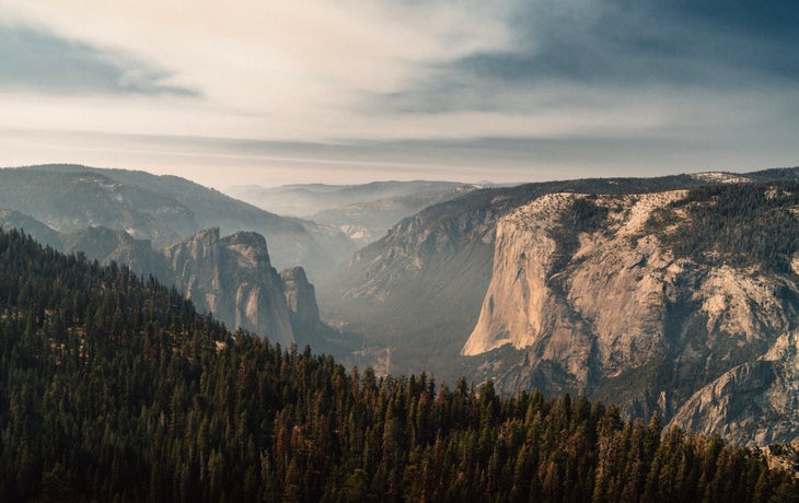
- Length: 18.1 miles
- Elevation Gain: 7,965 feet
- Trail Type: point-to-point
- Difficulty: moderate
Nab Taft Point, Sentinel Dome and Glacier Point along this 18-mile one-night point-to-point. The scenery starts early and stays good, looking out across the valley at the most iconic spots in the park from several angles; Half Dome, El Capitan, Bridal Veil Falls. Camp between Meadow Brook and Stanford Point, then finish the hike with a drop into evergreen forest the next day.
Find the route on Gaia GPS here.
Best Overnight for Solitude in Yosemite National Park: Hetch-Hetchy and Vernon Lake Loop
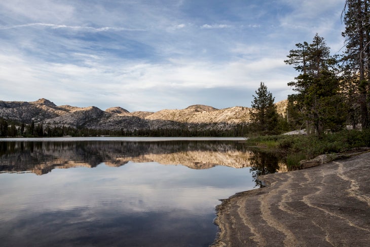
- Length: 28.2 miles
- Elevation Gain: 4,450 feet
- Trail Type: out-and-back
- Difficulty: moderate
Ditch the valley crowds on this overnight to a secluded lake nestled below a rocky granite ridge. The hike starts in forested hills, climbing up through Hetch-Hetchy Valley to the lake. On day 2, head back down beside a series of waterfalls in the Tiltill valley to the trailhead. Looking for more leisurely trail days? Camp in the woods halfway up and make it a three-day trip.
Find the route on Gaia GPS here.
Best Lakeside Camp in Yosemite National Park: Boundary Lake
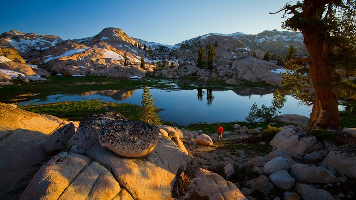
- Length: 26.6 miles
- Elevation Gain: 1,900 feet
- Trail Type: out-and-back
- Difficulty: moderate
Perched right at the northern edge of the park (hence the name), this lake sits in classic Sierra terrain: pines, peaks, and polished granite. The lower-elevation sugar pine forest where the trail starts is a favorite spot for quail. The alpine expanse where the lake sits, all gray granite slabs and occasional evergreens, is favored more by mountain lions.
Find the route on Gaia GPS here.
Best Multiday Hikes in Yosemite National Park
Best Multiday Hike in Yosemite National Park for Solitude: Clark Range Traverse
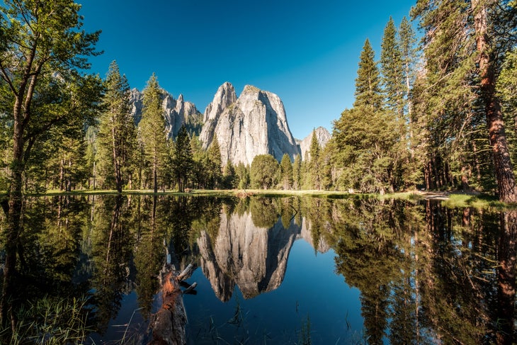
- Length: 45.9 miles
- Elevation Gain: 11,098 feet
- Trail Type: lollipop loop
- Difficulty: hard
Ditch the frontcountry crowds for backcountry bliss on this alpine traverse. Climb from the valley floor to the highest pass on any trail in Yosemite (Red Peak Pass at 11,180 feet), then head into a wonderland of alpine lakes and granite dotted with pines. Drop down to join the Merced River, then follow its rapids to Merced Lake, Little Yosemite Valley, and Nevada Falls.
Find the route on Gaia GPS here.
Best JMT Section Hike in Yosemite National Park: Tuolumne Meadows to Devils Postpile
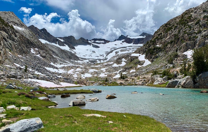
- Length: 36 miles
- Elevation Gain: 6,844 feet
- Trail Type: point-to-point
- Difficulty: hard
Camp in an Ansel Adams photograph on this John Muir Trail Point-to-point. From Tuolumne Meadows, head into the High Sierra, wandering among crystal-clear tarns, granite slabs, and snowcapped peaks. Highlights include views of Mt. Lyell, the tallest in the park at 13,144 feet, and Lyell Glacier on its flanks—the largest glacier in the Sierra. Finish your trek at Devils Postpile’s cliffs of basalt columns.
Find the route on Gaia GPS here.
Avoiding Crowds
Yosemite is more crowded than most spots, but the rules for finding solitude remain the same: Go long, go hard, and go midweek or off-season, when you won’t be competing with every possible tourist. Difficult and lengthy trails get less traffic, even in popular parts of the park. Not up to high elevation gain and mileage? Choose places like Hetch-Hetchy, which have plenty of great hikes even if they don’t have the most famous scenery, or seek out trails that require a long drive to reach.
When to go
Summer is peak tourist season in Yosemite, but it also has the best weather. Keep an eye out for thunderstorms, though, especially in the treeless high country. Fall is colder and often gets snowstorms, but if you have the right gear it can be a great time to visit and avoid the crowds. In spring, the alpine spots haven’t melted out yet, but you can explore the valley and the lower elevations in happy solitude.
Gear for Tackling the Best Hikes in Yosemite
No matter what season you visit in, make sure to bring a shell, insulating layers, and a tent with a good fly; weather can change quickly in the mountains, and you don’t want to be caught unprepared. Most backcountry sites are near a lake or stream so bring a water filter to cut down on pack weight instead of slogging in all of your own hydration.
